We use radiometric thermal sensors on DJI M4T and GNSS mapping to pinpoint hidden moisture and defects—so you can repair with precision, extend roof life, and avoid costly downtime.

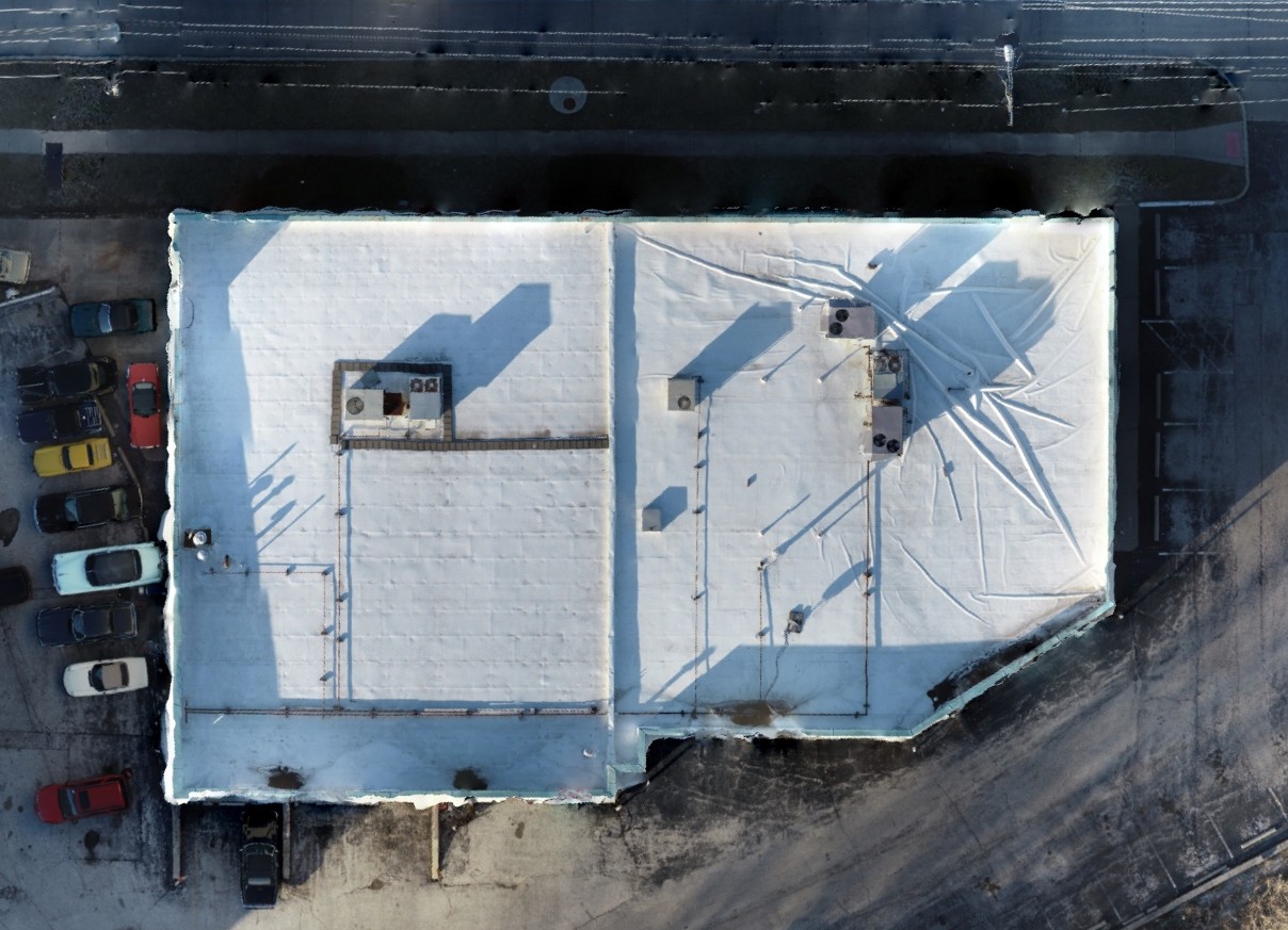
High-resolution, georeferenced roof maps for documentation, planning, and precise repairs.
Radiometric thermal imagery highlights trapped moisture and insulation failures before they become leaks.
Clean reports and GPS-indexed hotspots that crews can act on immediately.
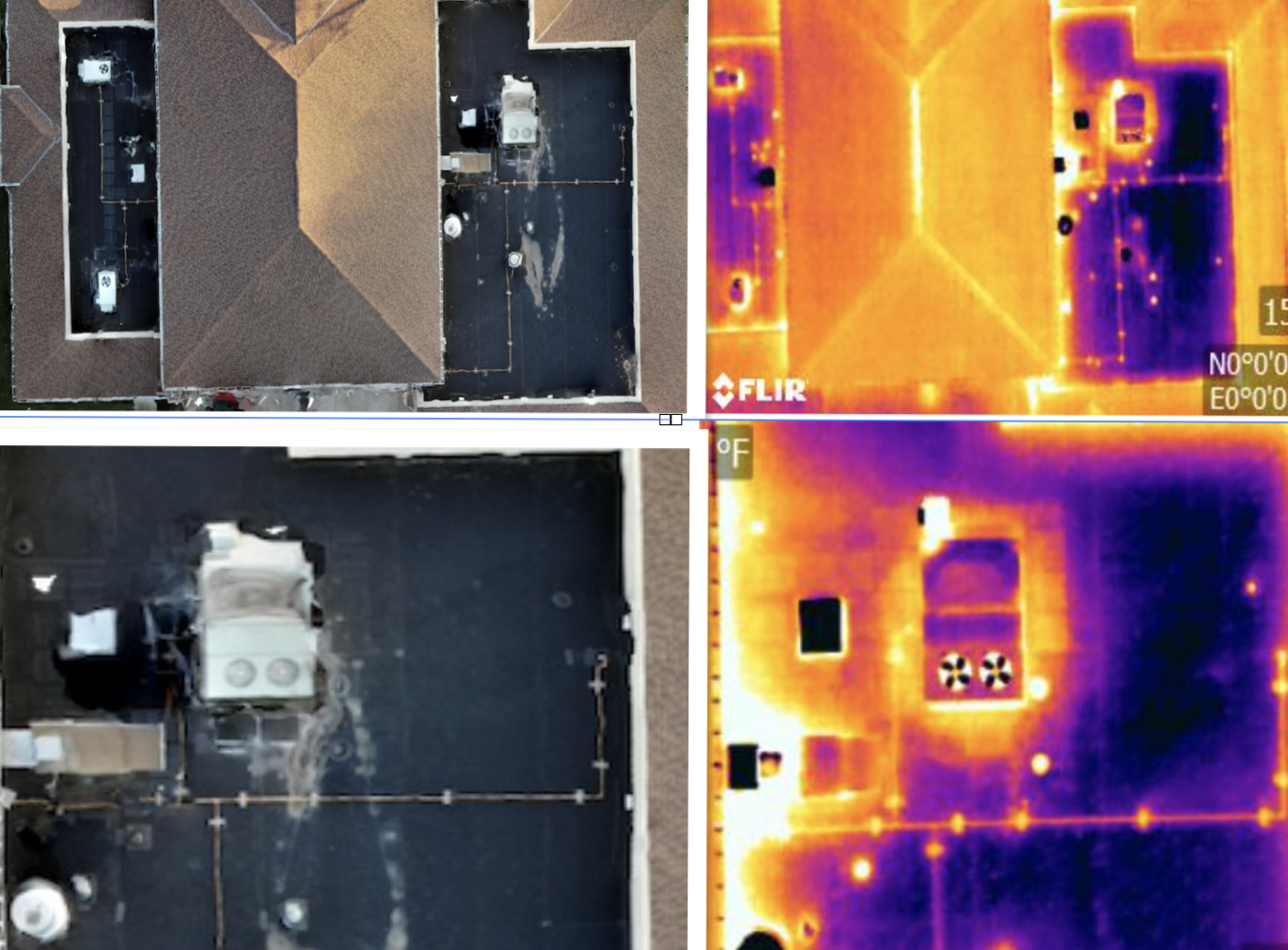
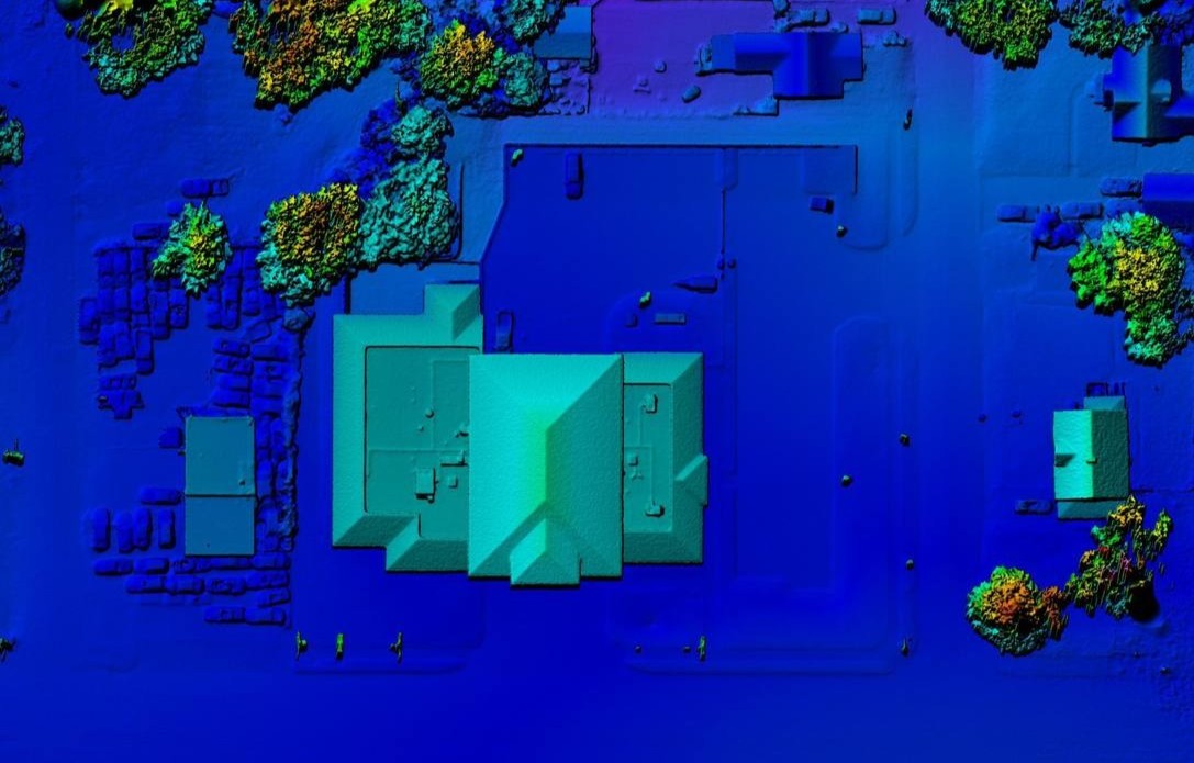
We pair radiometric imagery with orthophotos and elevation models to validate anomalies and prioritize repairs.
See our Line Card for details.
Send the address and roof size. We’ll confirm scope, airspace, and a flight window.