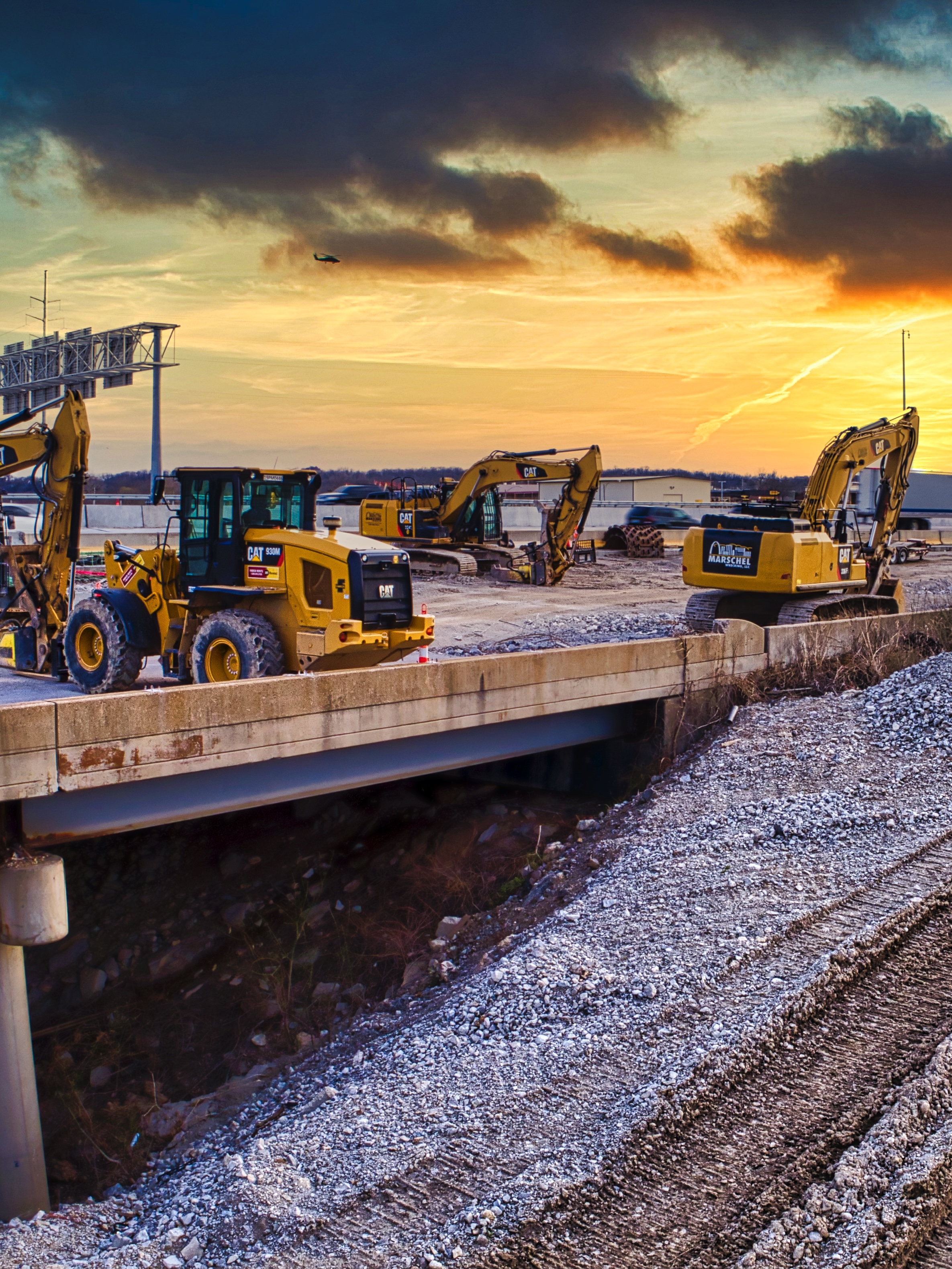
For steel erection, as-built verification, and visual inspection. Deliverables calibrated for planning meetings and progress documentation.
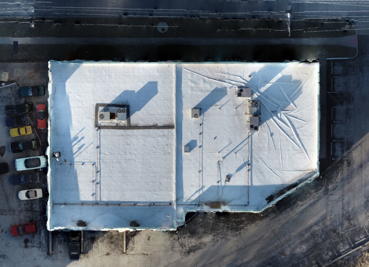
High-resolution, georeferenced maps for progress tracking, site logistics, and documentation.
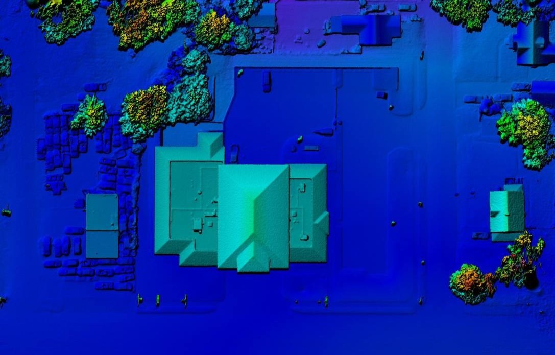
Elevation models and point clouds for planning, cut/fill visuals, and quantity discussions.
Photogrammetry sets for crane paths, safety reviews, and punchlist documentation.
Send site address, desired frequency (weekly/biweekly), and stakeholders. We’ll propose a capture plan and deliverables that fit your schedule.